Finding H22
One day in early spring, a thousand years ago, the Countess Hilsondis decided to give away a piece of marshy forest to the Limburger monks. So began centuries of passing back and forth between the successive bishops, monks and dukes. These parcels of land became bribes, rewards, settlement for gambling debts, and the duchess’s unredeemed pawns. This created two jumbled sets of unconnected parcels, each set under different jurisdiction.

Through the years, under Spain, Napoleon’s empire and independence, many attempts were made to rationalise the complex of boundaries, but each attempt was postponed, distracted, or otherwise thwarted… So the enclaves and sub-enclaves stubbornly survived – fragments of Netherlands within Belgium, marooned within the Netherlands. Borders run along the middle of streets, run perpendicular to no particular natural feature, cut straight though houses, shops and cafés.
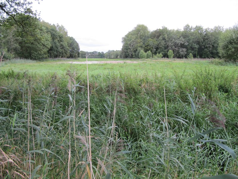
Then in 1995 the borders were remeasured with modern equipment. It was found that one house in Baarle would have to move from Belgium to the Netherlands. To work this change, the simple solution was to move the front door from what had now become the Netherlands to the other side of the house, in Belgium. And half of one little meadow west of the town was found – an isolated parcel, which had been forgotten all this time and incorrectly allocated to the Netherlands. This field, named H22, was reallocated to Belgium.

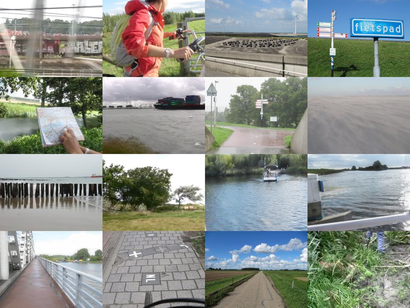
In August 2010, a small team set out from London to find H22.
Stills from a video recorded in the Netherlands 2010; edited London 2014.